History
The Charterwood Municipal Utility District – a limited purpose political subdivision of the State of Texas – was created in 1972 by the Texas Water Rights Commission, the predecessor to the Texas Commission on Environmental Quality. It is the District’s responsibility to finance, construct, own and operate waterworks, wastewater, and drainage facilities, and to provide water and sewer services to their residents and customers.
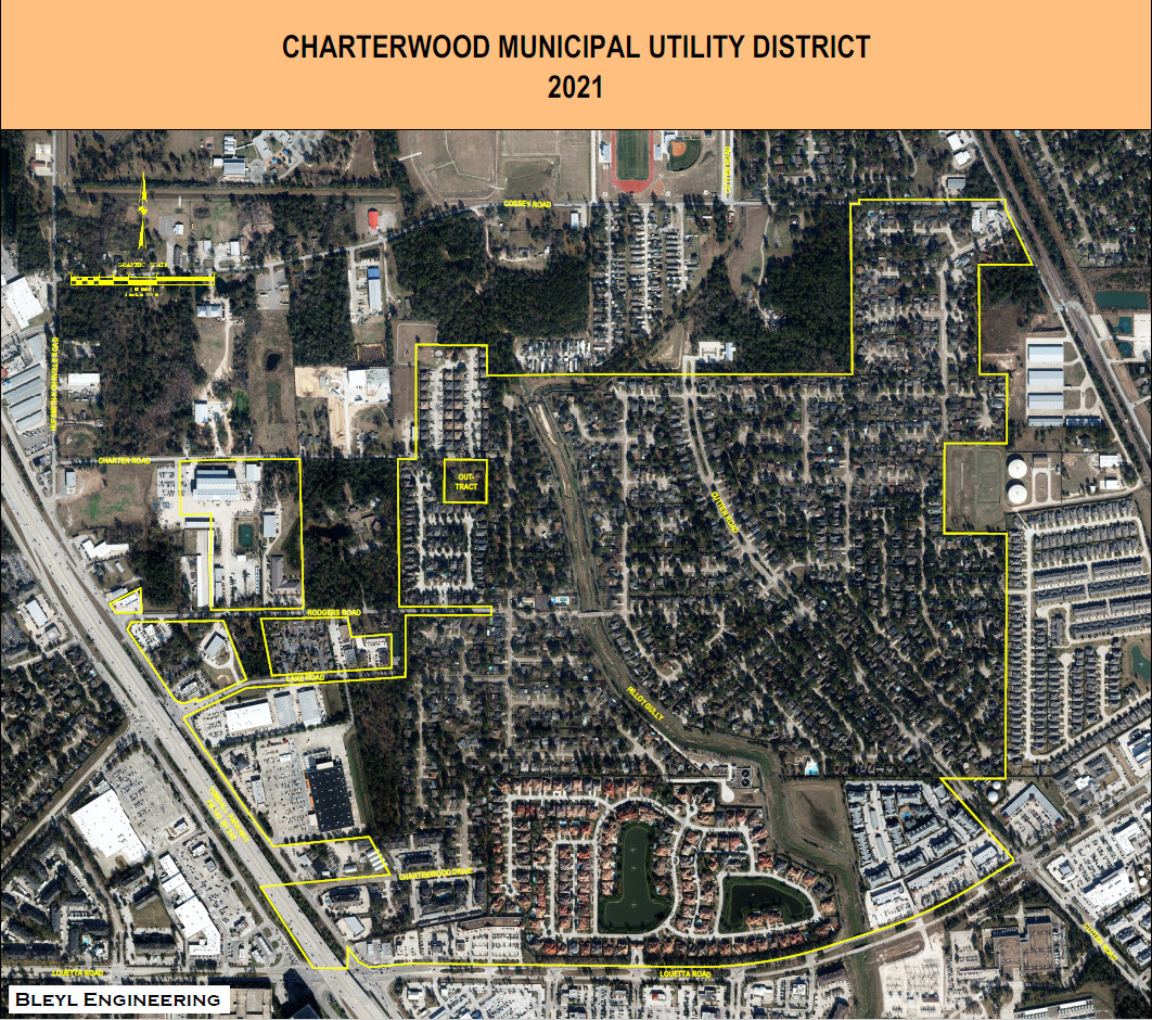
Charterwood MUD is located in northwestern Harris County, approximately 3 miles north of the intersection of Highway 249 and FM 1960 and extends to Louetta Road. The District is approximately 25 miles from Houston’s central business district. Hewlett-Packard’s corporate office is less than a mile away.
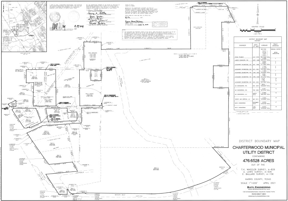
Currently, the District incorporates about 462 acres within the boundaries of the Klein Independent School District, and within the extraterritorial jurisdiction of the City of Houston. Residential development began in the District in 1974, with approximately 355 acres devoted to the residential subdivisions of Charterwood, Sections 1-7 and 9-11 and Majestic Oaks, Section 1. In 2005, development began on the new V&W Partners, Ltd. Vintage Lakes 143-lot-subdivision, with its high-end homes in the range of $.5 to $2 million. As of October 2007, the District’s single family development consisted of 1,110 completed and occupied homes, plus another 50 +/- homes, either complete and unoccupied or under construction. There are still a number of vacant developed lots.
There is also considerable commercial development in the District, including a Home Depot, convenience markets, office buildings, a hotel, two apartment complexes, a retail center, several fast food facilities, restaurants, and The Shops at the Vintage – a 31,363 sq. ft. retail center which is 98% leased. Another 29.5 thousand sq. ft. retail center – The Vintage Center — is under construction.
Charterwood Municipal Utility District encompasses the subdivisions of Charterwood, Majestic Oaks, Woodbend Pines, and Vintage Lakes.
District Map
Aerial View of the District
Buffer Line between Residential and Commercial Building
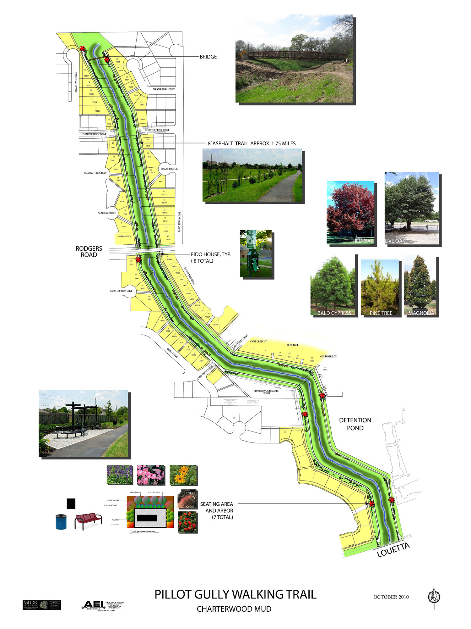
The District has an annexation plan which incorporates a buffer of existing trees and vegetation to any new development.